En
Menu
English
Arabic
Brazil
French
German
Italian
Russian
Simplified China
Traditional China
Spanish
Turkey
India
Vietnam
Japanese
Korean
About app
Contacts
En
English
Arabic
Brazil
French
German
Italian
Russian
Simplified China
Traditional China
Spanish
Turkey
India
Vietnam
Japanese
Korean
This section is not available yet
Home
Maps
Thailand
Kui Buri
Sections
Top places
Entertainment
Attractions
Attraction
Memorial
Viewpoint
Business
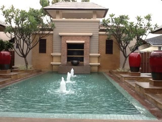
Lodging
Hotel
Motel
Shops
Health
Hospital
Food
Cafe
Restaurant
Education
School
Transport
Gas station
Parking
Train station
Finance
Attraction
Wildlife watching
0.5
Kui Buri National park
2.0
Cafe
Cute Coffee shop
1.0
Gas station
PTT (ปตท.)
2.8
National Highway 4 (South Bound), Kui Buri, Changwat Prachuap Khiri Khan 77150, Thailand, GPS: 12.072373,99.85948
Credit Cards
+
more
Hospital
Rongphayaban Kui Buri ca. 15 m โรงพยาบาลกุยบุรี
1.0
Hotel
Ampai Resort (อำไพรีสอร์ท)
Thailand, GPS: 12.171008,99.982574
Ban Ruam
0.5
Memorial
Wat Bo Nok ca. 14 m วัดบ่อนอก
2.5
Wat U Taphao ca. 12 m วัดอู่ตะเภา
2.0
Motel
Baan Park Resort
2.5
Parking
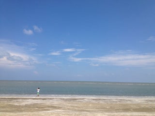
Sam Phraya Beach (หาดสามพระยา)
4.3
Hwy No 4020 (Khao Daeng-Pak Nam Pranburi), Sam Roi Yot, Changwat Prachuap Khiri Khan 77150, Thailand, GPS: 12.152166,99.98289
Restaurant
Local restaurant
2.5
School
Ban Rai Kao Sam Roi Yot School
2.0
โรงเรียนบ้านท่าฝาง
2.5
Train station
bo NON
2.0
Sam Roi Yot
0.5
Viewpoint
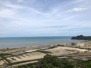
Khao Daeng View Point (จุดชมวิวเขาแดง)
3.7
National Hwy No 1020, Kui Buri, Changwat Prachuap Khiri Khan 77150, Thailand, GPS: 12.1327715,99.95945
Show on map
Show list
MAPS.ME
is always on hand
Download the apps and start expanding your horizons
Open Maps.me app
Use web version