En
Menu
English
Arabic
Brazil
French
German
Italian
Russian
Simplified China
Traditional China
Spanish
Turkey
India
Vietnam
Japanese
Korean
About app
Contacts
En
English
Arabic
Brazil
French
German
Italian
Russian
Simplified China
Traditional China
Spanish
Turkey
India
Vietnam
Japanese
Korean
This section is not available yet
Home
Maps
Iran
Mahabad
Sections
Top places
Entertainment
Library
Park
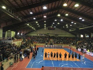
Stadium
Attractions
Memorial
Mosque
Business
Lodging
Guesthouse
Shops
Clothes shop
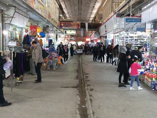
Marketplace
Shoe Store
Health
Hospital
Food
Restaurant
Education
School
University
Transport
Bus station
Gas station
Parking
Train station
Finance
Bank
Post
Bank
Bank Sepah
1.5
Saderat Bank
0.5
Bus station
ترمینال
1.0
Clothes shop
تاناكوراي مهاباد
Iran, GPS: 36.781727,45.732506
Gas station
پمپ بنزین مهاباد
2.0
پمپ بنزین
2.0
Guesthouse
Mehmansara
1.0
Hospital
Mirakzadeh Hospital
2.5
بیمارستان و اورژانس مهاباد
2.5
Library
سازمان تبلیغات اسلامی
2.5
خانه مهر بازنشستگان
2.5
Marketplace
بازارچه تنديس
Iran, GPS: 36.781094,45.724255
Mahabad Market
0.5
Memorial
قبرستان مهاباد
2.0
Mosque
مسجد شهید شهریکندی
2.5
Hosseinie Shahid Sajjad
2.5
Park
پارک شیخ شلتوت
2.5
Mellat Park | پارک ملت
3.8
Mahabad-Piranshahr Rd., Mahabad, West Azarbaijan, Iran, GPS: 36.77234,45.708103
Parking
پارکینگ عمومی
0.5
Post
Post Office
1.0
Restaurant
Jouibar Mahabad Rest Hall
1.0
School
Kamrani school
1.0
Shoe Store
بازارچه مهاباد
3.8
Iran, GPS: 36.78033,45.7222
Stadium
Azadi Stadium | استادیوم ٢٠٠٠ نفری آزادی
Mahabad, West Azarbaijan, Iran, GPS: 36.75593,45.71876
Train station
Mahabad
1.0
University
آکواریوم دانشگاه آزاد مهاباد
روبروی انتشارات دانشگاه آزاد مهاباد, Mahabad, West Azerbaijan Province, Iran, GPS: 36.762016,45.744568
Show on map
Show list
MAPS.ME
is always on hand
Download the apps and start expanding your horizons
Open Maps.me app
Use web version