En
Menu
English
Arabic
Brazil
French
German
Italian
Russian
Simplified China
Traditional China
Spanish
Turkey
India
Vietnam
Japanese
Korean
About app
Contacts
En
English
Arabic
Brazil
French
German
Italian
Russian
Simplified China
Traditional China
Spanish
Turkey
India
Vietnam
Japanese
Korean
This section is not available yet
Home
Maps
Brazil
Belém
Sections
Top places
Entertainment
Park
Stadium
Attractions
Church
Business
Lodging
Shops
Mall
Health
Hospital
Food
Education
Kindergarten
School
Transport
Bus station
Gas station
Finance
Post
Bus station
Rodoviária de Belém
Rua Feliciano Pedrosa (Centro), Belém, PB, 58255-000, Brazil, GPS: -6.7014055,-35.537174
Church
Igreja de Belém
2.5
Gas station
TEXACO
1.5
Hospital
Hospital Santa Lúcia
1.5
Kindergarten
Creche
2.5
Mall
Mercado Público de Belém
2.5
Park
Mato
1.0
Post
Correios
3.3
Pça. Seis de Setembro, 61, Belém, PB, 58255-970, Brazil, GPS: -6.697328,-35.53684
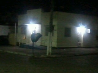
AC Belém
School
Escola Felinto Eylísio
Brazil, GPS: -6.6995006,-35.539276
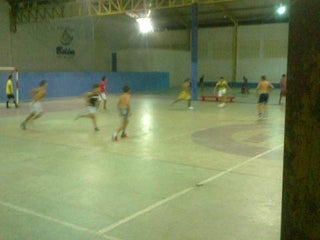
Stadium
Ginasio De Esportes - O Xaviezao
3.8
Rua Brasiliano Da Costa, Belém, PB, 58255-000, Brazil, GPS: -6.6997123,-35.5368
Credit Cards
+
more
Show on map
Show list
MAPS.ME
is always on hand
Download the apps and start expanding your horizons
Open Maps.me app
Use web version