Maps.me
Catalog
Maps
Maps
By countries
By cities
Contacts
About app
Wallet
Token
Trust
En
Choose language
English
Arabic
Brazil
French
German
Italian
Russian
Simplified China
Traditional China
Spanish
Turkey
India
Vietnam
Japanese
Korean
Download Maps.me
Entertainment
Athletics
Basketball Pitch
Casino
Cinema
Fitness Centre
Football Pitch
Library
Multi-sport Pitch
Nightclub
Park
Pier
Sauna
Stadium
Swimming Pool
Theatre
WaterPark
Zoo
Attractions
Attraction
Castle
Church
Memorial
Monument
Mosque
Museum
Synagogue
Temple
Tomb
Viewpoint
Wayside Shrine
Business
Car Parts
Car Shop
Car Wash
Company Office
Dry Cleaning
Hairdresser
Laundry
Lawyer
Optician's
Tyre Repair
Lodging
Apartments
Camping
Guesthouse
Hostel
Hotel
Motel
Shops
Bakery
Beauty Shop
Bookstore
Butcher's
Chemist Shop
Clothes shop
Computer Store
Department Store
Florist's
Furniture Store
Gift Shop
Hardware store
Jewerly
Kiosk
Liquor Store
Mall
Marketplace
Petshop
Photo Shop
Shoe Store
Sports Goods
Supermarket
Sweets
Ticket Shop
Toy Store
Wine Shop
Health
Clinic
Dentist
Doctor
Hospital
Pharmacy
Veterinary doctor
Food
Bar
Cafe
Fast Food
Pub
Restaurant
Education
College
Kindergarten
School
University
Transport
Airport
Bus station
Car Rental
Car Sharing
Gas station
Parking
Subway
Taxi
Train station
Finance
ATM
Bank
Post
Home
Catalog
Education
School
Wi-Fi
$
$$
$$$
$$$$
Wheelchair active
Clear
School nearby Blacktown
40,000 found
Mandang Public School
2.5
Clairgate Public School
Colorado Drive, St Clair NSW 2759, Australia, GPS: -33.795914,150.8009
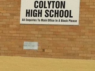
Colyton High School
Australia, GPS: -33.779545,150.79744
Lynwood Park Public School
Turner Street, Lalor Park NSW, Australia, GPS: -33.75372,150.92577
St Luke’s Catholic College
1.5
We found more than 40,000 Education points in Blacktown. Including
10,000
School
10,000
University
10,000
College
10,000
Kindergarten
John Palmer Public School
2.5
Bossley Park Primary School
Australia, GPS: -33.859222,150.8828
Ironbark Ridge Public School
LOT 2 Ironbark Ridge Rd. (Withers Rd.), Beaumont Hills NSW 2155, Australia, GPS: -33.688248,150.9334
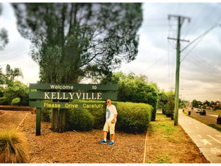
Kellyville Public School
2.0
Rooty Hill Primary School
Australia, GPS: -33.769386,150.83917
Kings Langley Public School
0.5
Mountain View Adventist College
41 Doonside Rd, Doonside NSW 2767, Australia, GPS: -33.768757,150.87228
Plumpton High School
2.5
Metella road Public School
Australia, GPS: -33.794006,150.93391
Winston Hills Public School
Hillcrest Avenue, Winston Hills NSW 2153, Australia, GPS: -33.773228,150.98132
Tallowood School
Australia, GPS: -33.70615,150.95207
Hassall Grove Primary School
Australia, GPS: -33.734806,150.83806
St John Paul II Catholic College (Schofields)
2.5
Casuarina School
Garfield Rd East (Piccadilly St), Riverstone NSW 2765, Australia, GPS: -33.676872,150.86658
Anglican Technical College Western Sydney
2.5
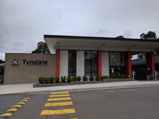
Tyndale Christian School
58 Douglas Rd, Blacktown NSW 2148, Australia, GPS: -33.78169,150.88623
Kellyville Public School
25A Windsor Rd., Kellyville NSW 2155, Australia, GPS: -33.711582,150.95834
Dawson Public School
Australia, GPS: -33.744595,150.81528
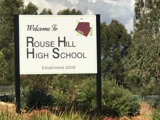
Rouse Hill High School
109 Withers Rd (Bruce Purser Way), Rouse Hill NSW 2155, Australia, GPS: -33.686165,150.93217
Seven Hills West Public School
Sackville St, Australia, GPS: -33.766197,150.9217
Search this area
Show on map
Show list
Maps are
always at hand
Download apps and start expanding your horizons
Open Maps.me app
Use web version